Empress

Screen Shot 2015-01-03 at 11.19.33 AM

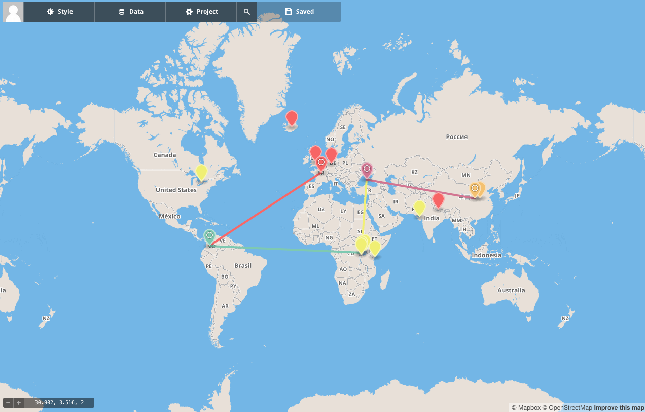
I just finished reading Empress by Shan Sa. The map above depicts my preliminary thoughts on the book, written for myself rather than a public audience. I decided to leave this in because it is part of the learning process. If I had decided to self-edit I would have lost time trying to polish the research notes. I’m trying to get into the habit of writing more each day. I also take the approach that writing is built up in pieces, a dynamic process. So I show you my rough notes, even though I learned much more than these initial observations.

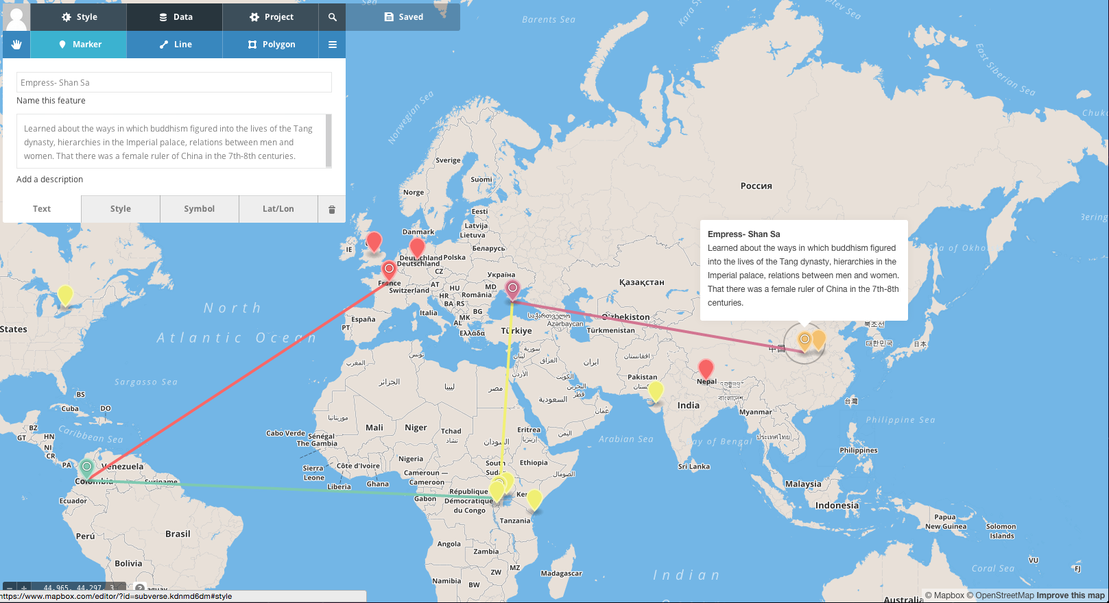
Mapping this entry posed a couple of challenges. Mapbox uses OpenStreetMaps for its map data. The names of places are written in the language of each specific country. When it came to determining a location for this book, I had to figure out where “Long Peace,” the location of the Imperial city was. I confess that I had to turn to Wikipedia and Google Maps for help.

The book also mentions Luoyang where a great deal of the action takes place. This location was easy enough to find because the name of the city has not changed. It was fun to search for the Chinese characters on the OpenStreetMap and match them to the ones found on Google (which also had the English name). I had to rely on the land features – the shapes of the waterways and the cities to locate the correct characters.

Screen Shot 2015-01-03 at 11.29.47 AM

The English translation of this book (written in French) was imaginative and poetic. It revealed a fascinating world of gender relations, politics, architecture, aesthetics and power. I also appreciated the roles various religions, and especially Buddhism, played in the lives of the characters.

Historical Fiction Mapping Project

Screen shot 2014-12-28 at 12.41.08 PM

In October and November 2014, I took a MOOC called “From GPS and Google Maps to Spatial Computing” offered by Dr. B. Hecht and Dr. Shashi at the University of Minnesota. (Thanks to Phillip Litchi at the Concordia Centre for Oral History and Digital Storytelling (COHDS) for this suggestion!). Their course introduced me to the Mapbox program, where we learned how to make ugly maps. I was curious about mapping technologies for my postdoctoral research on Mapping Moroccan Jews in Montreal (more on this later).

Ironically, to escape the tyranny of technology, I had attempted to take some computer holidays on Saturdays. Rather than staring at a computer screen or agonizing about how behind I felt on work, I strolled through town, including a stop at my local library, Bibliothèque du Mile End. I cruised the “what’s new” shelf in English fiction and chose a book called The Steady Running of the Hour by Justin Go. The inside cover of this book featured a beautiful map of Europe and I immediately embarked on a transnational adventure through fiction.

The blending of these events inspired me to merge my academic works, technical skills accumulation and escapism into  The Historical Fiction Mapping Project.

In Go’s book (depicted by the reddish-pink markers on the map. I travelled through Europe – England, France, Germany and Iceland – and to Nepal, following the trajectory of the characters. I was struck by something ridiculously simple for someone who had made an academic career of studying books : fiction can teach you things, especially the genre of historical fiction. I decided to to map out the trajectory of the characters digitally and mark at least one lesson I derived from the novel. In this case, it was the root of the word pundit – a Sanskrit word for a learned person, used later by the British for the Indians they trained to secretly survey Nepal. My mind was blown by this simple historical fact, and its colonial significance.

I will use this blog to discuss the project as I move through it. I’ve already read 5 books since I started in November. So I will backtrack to explain what I’ve learned, and will update as I continue.

I just downloaded Mapbox Studio, so things might get interesting from here.